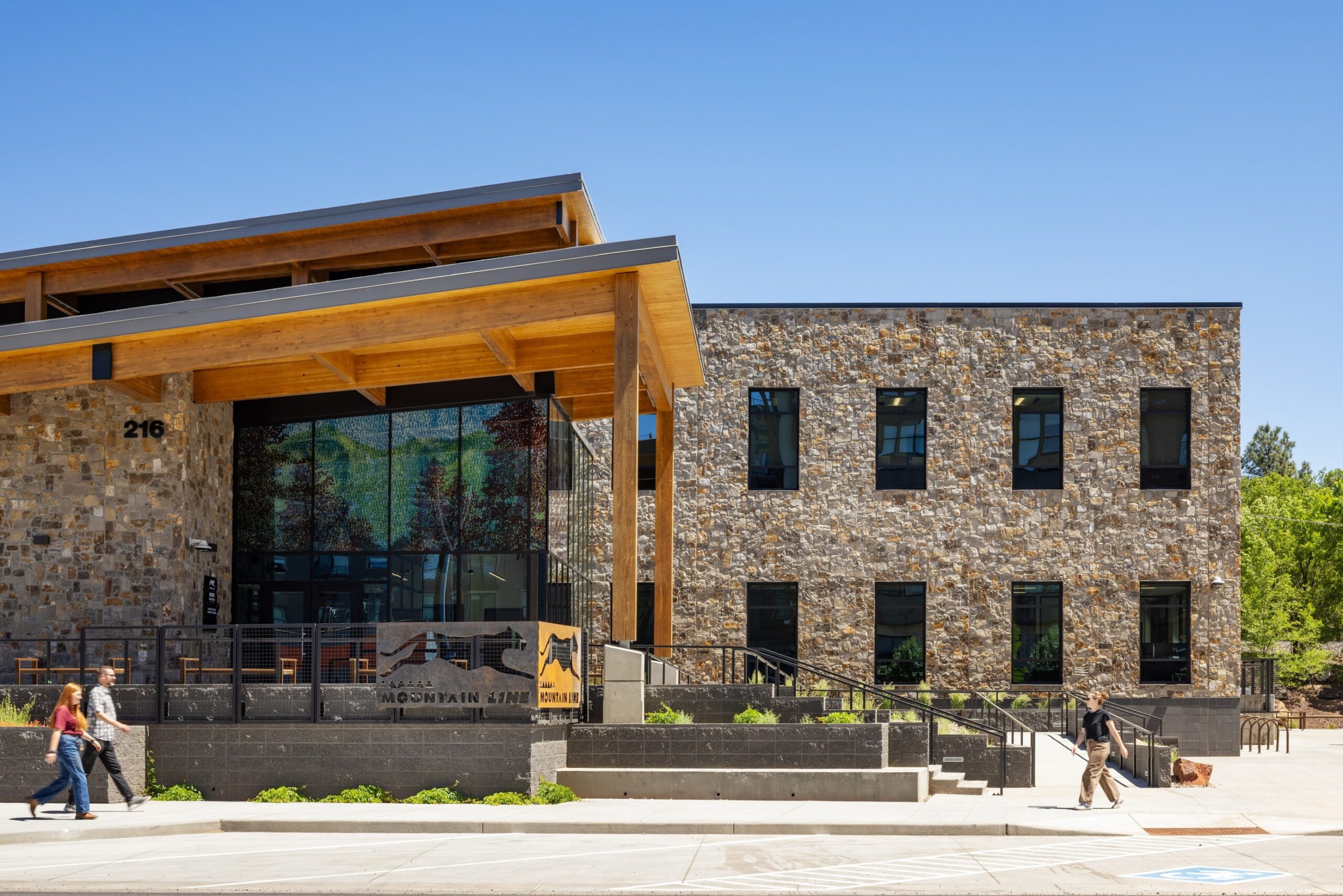
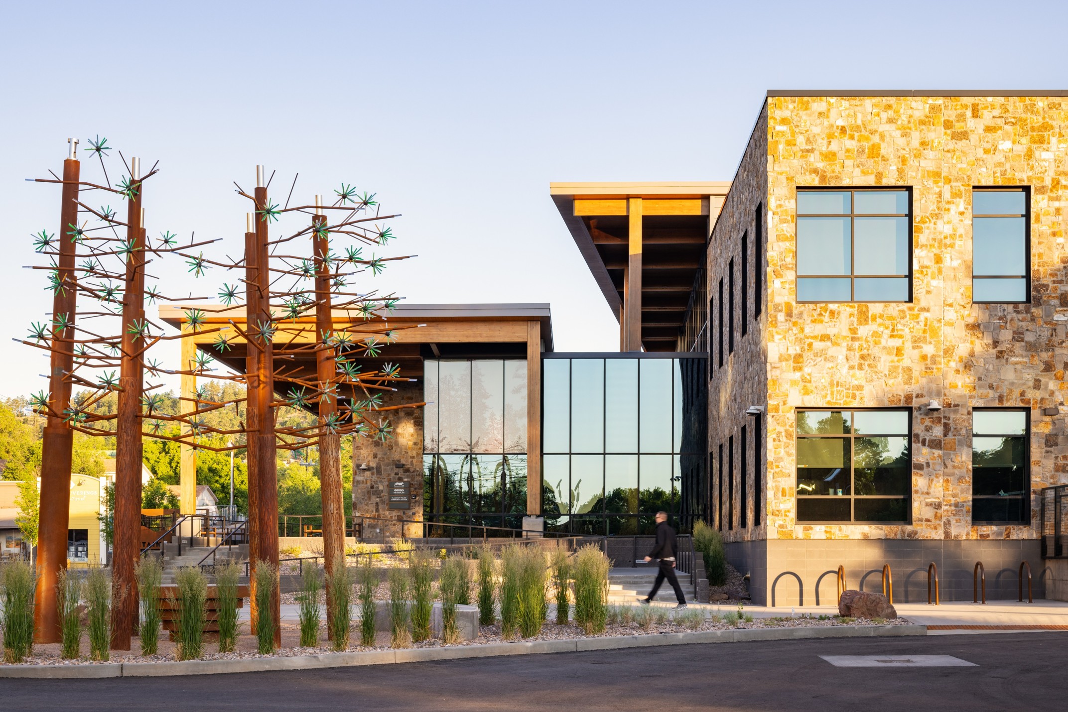
Flagstaff Mountain Line Downtown Connection Center
Residents in Flagstaff, AZ are familiar with the devastating effects of flooding. The historic city lies at the foot of the San Francisco Peaks, the tallest mountains in Arizona and the headwaters to the Rio de Flag, a river that runs right through the City on its way to the Little Colorado River. Unpredictable precipitation and the historic undergrounding/channeling of the Rio De Flag lead to regular flooding of Flagstaff’s southside neighborhood. Luckily, the City and its partners have used sites such as 116 West Phoenix Ave as opportunities to build climate resilience, and address other community needs.
Flagstaff and the U.S. Army Corp of Engineers have embarked on a 20-year flood control project in the City. Plans will restore the Rio De Flag’s original river channels to prevent concentrated flooding, but there was something standing in their way: a brownfield, known as the “Route 66 Creosote Pit Brownfield Site.” The site was host to the toxic wood preserving chemical creosote, which would have to be remediated prior to reuse
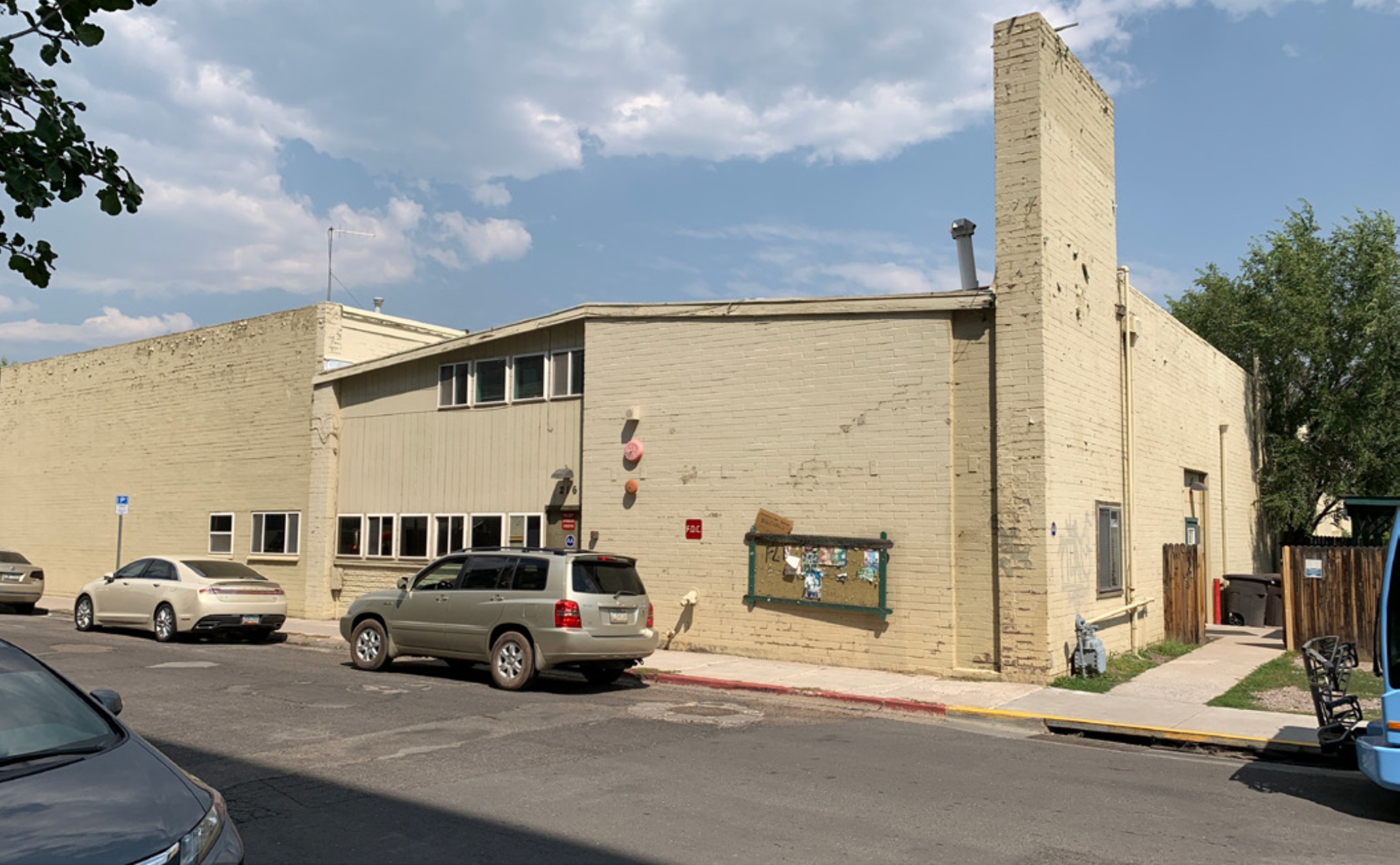
The brownfield site is located south of Route 66, the rail corridor, and the original Rio de Flag channel. The creosote pit was first utilized by the railroad to preserve rail ties in 1896. From 1906-1946, the site operated as an electric power plant, which continued to use the creosote pit. In 1980 the City demolished all buildings on the site aside from one warehouse. From 1980 on the site was under-utilized, serving as parking, storage and a seasonal farmer’s market (which now operates near City Hall).
Site assessments conducted by Arizona Department of Environmental Quality (ADEQ) between 2006-2008 identified presence of polycyclic aromatic hydrocarbons (PaHs) on the small portion of the site that served as the creosote pit. In 2009 Flagstaff used a $126,900 EPA Brownfield Cleanup Grant to remediate the contamination. EPA and SCS Engineers finished remediation in 2011, allowing the clean site to be utilized in the City’s flood mitigation strategy. The Rio de Flag flood control project will remove the area from the 100-year flood plain when complete; reducing flood risk on West Phoenix Ave. and for hundreds homes and businesses.
In addition to being a crucial piece in the flood control puzzle, the northern Arizona transit agency known as Mountain Line saw potential in the site for a new multi-modal transportation hub within the region’s largest city. The existing downtown connection center opened next door to 116 West Phoenix Ave. in 2008, however, bus services more than doubled by the 2020s, straining the capacity of the existing center.
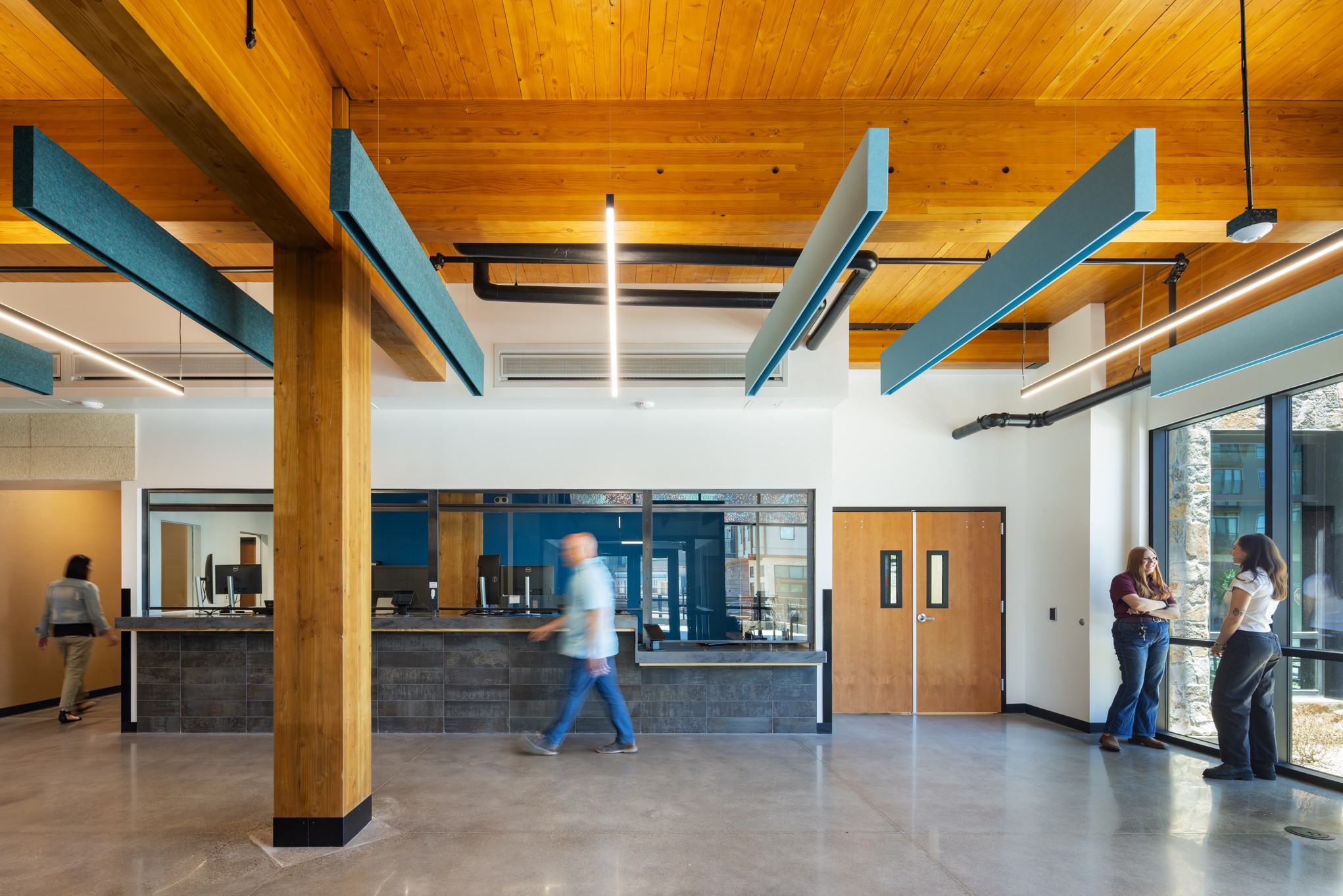
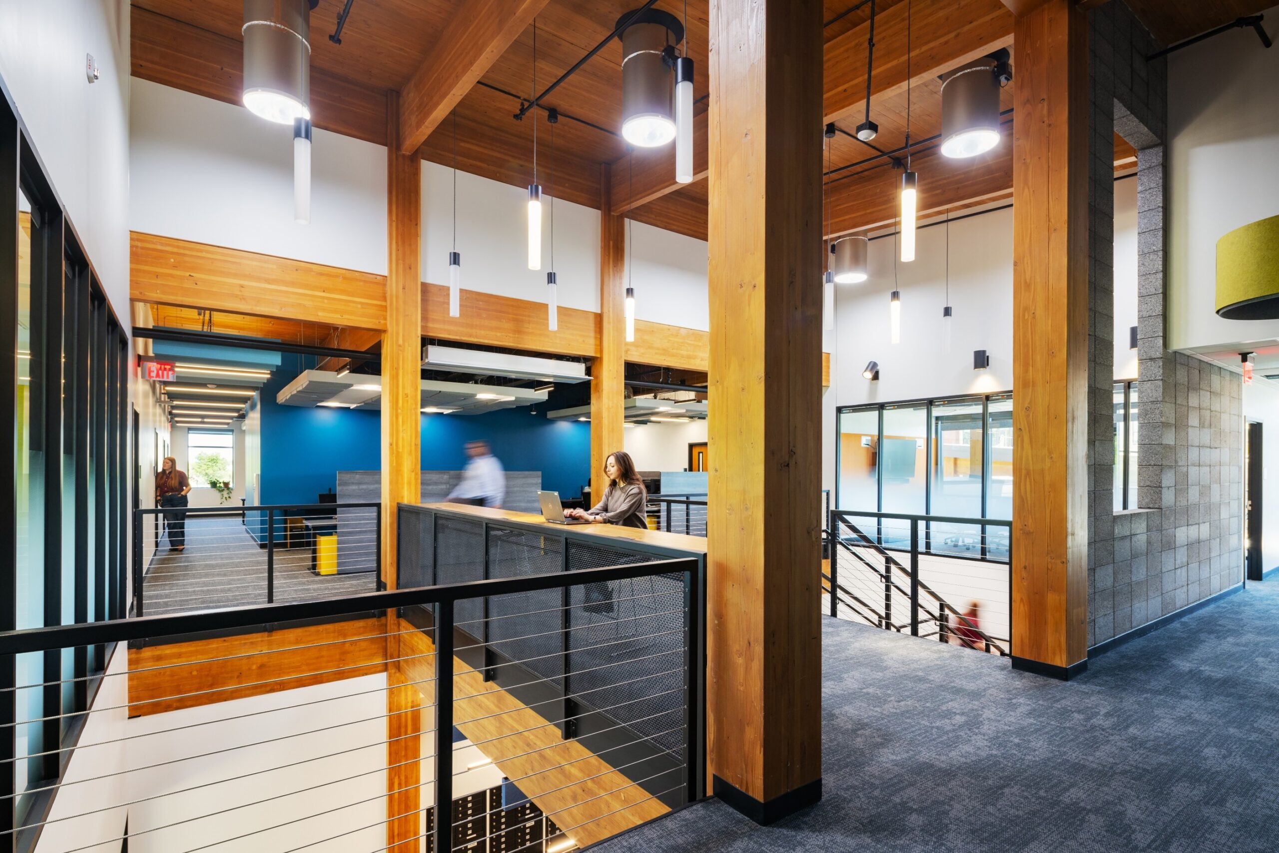
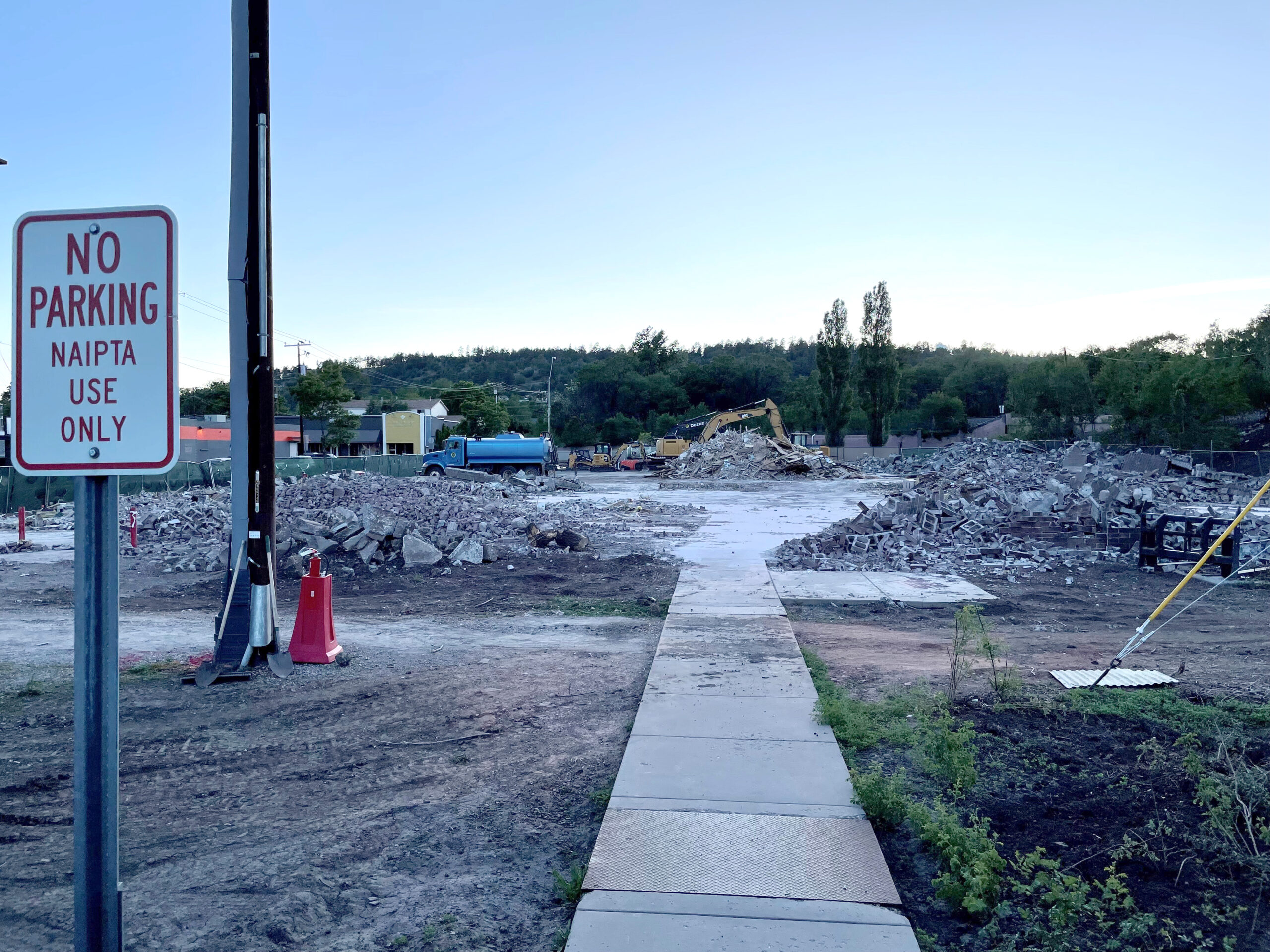
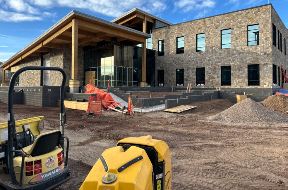
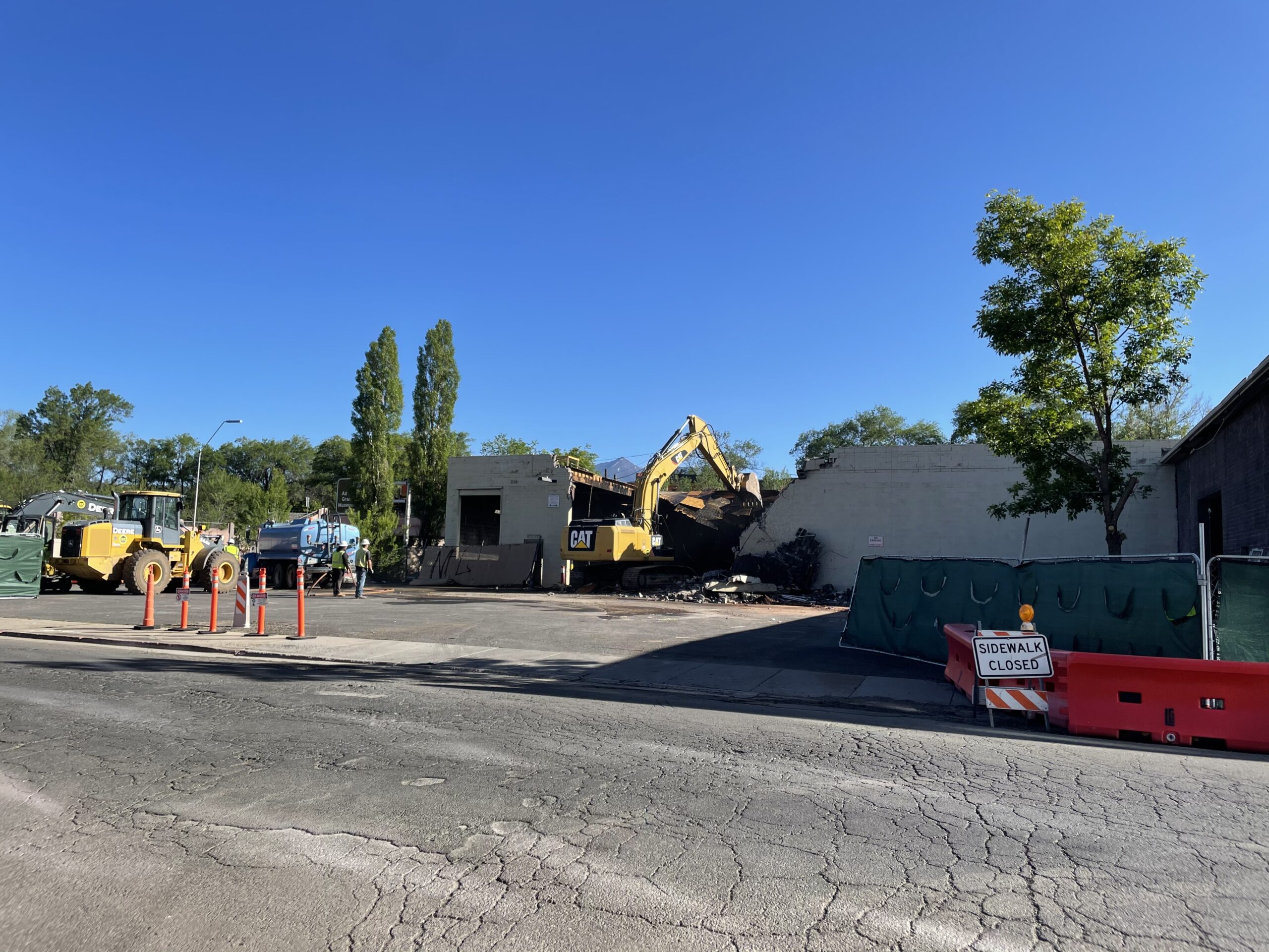
In Spring 2023, the remaining City-owned warehouse on the site was demolished and Mountain Line broke ground on its new Mountain Line Downtown Connection Center. In June 2025, the center opened its doors to travelers and Mountain Line staff. The design and construction of the DCC was funded by nearly $28 million in Federal Transit Administration grants and an appropriation from the State of Arizona. Phase one of the DCC project was completed with the opening of the public-facing administrative building. Phase 2 will commence after the Rio de Flag construction is complete and will feature a bus plaza with 13 bus bays and a new civic space.The building received Gold-level certification from Coconino County’s Sustainable Building Program and repurposed blocks from the demolished warehouse in the new construction. The mass timber structure includes Douglas fir harvested from wildfire burn zones in the Pacific northwest and radiant heating to reduce energy use.
For 80 years 116 West Phoenix Ave sat under utilized, hampering flood control improvements, and detracting from the character of the southside neighborhood of Flagstaff. Thanks to an EPA-led cleanup, it is now an asset that serves thousands of travelers a day.
Project Details
Total Area: 3.4 acres
Previous uses: electric power plant, rail spur, farm supply store, city storage, farmer’s market

Current uses: Multi-modal transportation hub

Benefits: Flood control, improved experience for bus travelers, improved administration facilities for Mountain Line agency, Community room

Financing: U.S. Army Corps of Engineers, U.S. EPA, ADEQ, City of Flagstaff

Services provided: Grant Review, Project Support
Project Impact
Photo Gallery


Partner Organizations
The Army Corps of Engineers provides public engineering services to reduce risks from natural disasters.
Flagstaff is the largest city in Northern Arizona. It lies at the foot of the San Francisco Peaks, the tallest mountains in Arizona and the headwaters to the Rio de Flag.
Administrator of the state’s environmental laws and delegated federal programs to prevent air, water and land pollution and ensure cleanup.

The Trust for Public Land (TPL) secured and remediated a former cherry orchard to create East Wenatchee’s first new park in nearly six decades.

Land recycling refers to the redevelopment and reuse of abandoned, contaminated and underutilized land. Watch this video to hear CCLR’s brownfields expert, Ignacio Dayrit, explain the practice, opportunities and benefits of land recycling, using Emeryville, CA as a case study.

As a project that took more than 35 years, Emeryville’s brownfield assessment, remediation, and redevelopment program made use of a variety of funding avenues. Read more about resources available to California entities on our California Funding Resources page.